Supervision of work for the creation of a geodetic network, CAMEROON
The Government’s action plan for the period 2010 / 2020 included updating Cameroon’s geodetic network. Although local networks already existed in each town, none of these were connected to each other in any way or brought together at a national level. These networks were therefore incompatible with modern satellite positioning technologies and GPS in particular.
IGN FI worked under the Cameroonian Ministry of State property and Land Affairs (MINDCAF) to perform a technical audit of the work carried out by the company FUGRO GEOID: construction of 25 reference pillars (approx. 1 pillar every 200 kms) and the additional network made up of 500 points located over the entire country (10 regions, 58 divisions and 378 towns).
The assignment’s objectives were:
- Make the use of this national geodetic reference network obligatory by law
- Publish the results of Cameroon’s single national geodetic reference network via the international department of the IGS (International GPS service for geodynamics)
Main objectives and deliverables
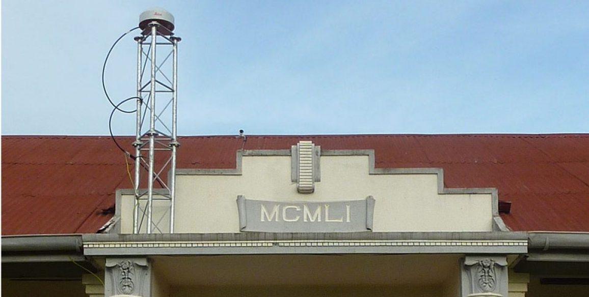
The project’s overall objective was to perform an independent technical quality audit of the work carried out to create, set up and implement in Cameroon’s single national geodetic reference network in the field. This network had been created using permanent fixed stations in the worldwide geodetic network (URF 2008 or more recent) and GPS (Global positioning system) and this audit was the means chosen to ensure that the standards applied by FUGRO GEOID complied with international standards and requirements regarding geodesy.
The project included the following work:
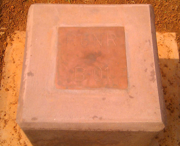
- Inspecting the production and installation of 525 pillars from the basic and reference networks as well as their markers (1,100)
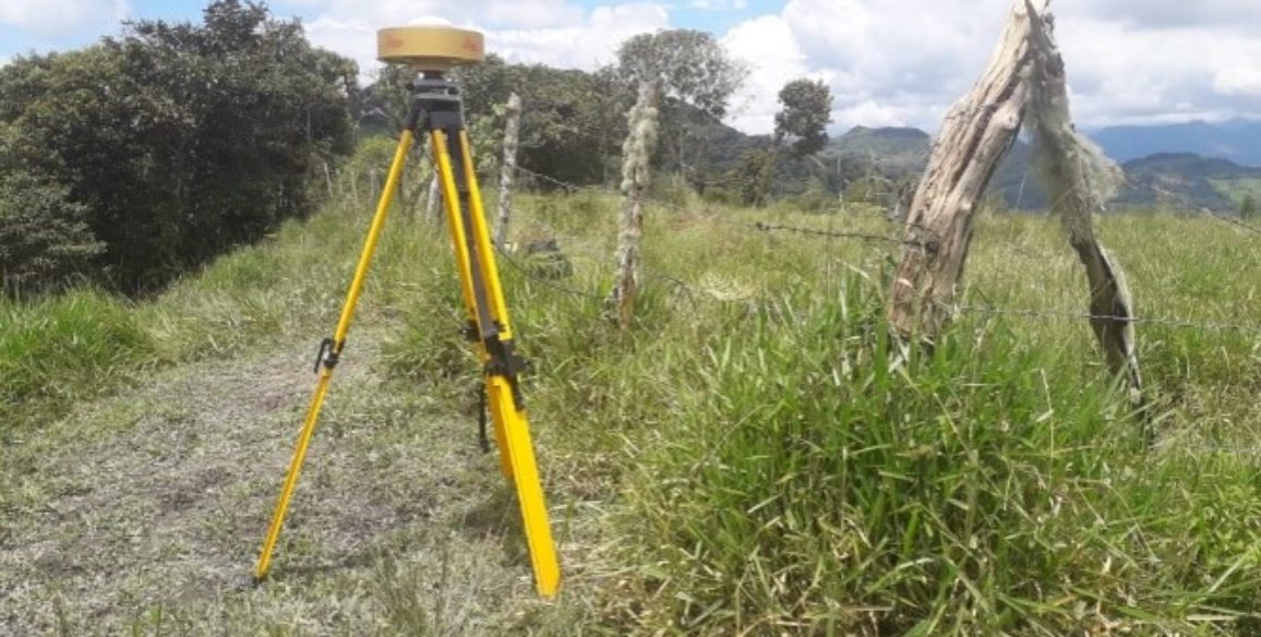
- Inspecting and verifying the procedures and working instructions used for taking geodetic and topographic readings in the field using GPS receivers, total stations and accuracy level devices
- Inspecting the management of data collected in the field and data processing systems
- Verifying the application of imposed standards and requirements
- Inspecting and verifying the adjustments made to the various networks:
- Reference network (25 pillars and 100 markers), linked to ITRF stations
- Basic network (500 pillars and 1,000 markers), covering Cameroon’s entire surface area and linked to the aforementioned reference network
- PGN network (Pipeline geodetic network: 18 points) and CNBN (Cameroon Nigeria Boundary Network: 20 pillars) linked to the aforementioned reference markers
- 1,100 pillar markers from the basic and reference networks
- Accurate direct leveling for 563 pillars: reference network (25 pillars), basis network (500 pillars), PGN network (18 points) and the CNBN network (20 pillars)
- Verifying the final documentation produced by FUGRO GEOID
- Drafting the final documentation and others related documents
The project deliverables were three reports:
- ‘Prerequisite studies’ report
- ‘Verification of calculations’ report
- A final report presenting the detailed assessment and including recommendations and any difficulties the project met with.
Key Figures
- Reference network (25 pillars and 100 markers), linked to ITRF stations
- Basic network (500 pillars and 1,000 markers)
- 18 points for the PGN network
- 20 pillars from the CNBN network
- 1,100 pillar markers from the basic and reference networks
- Accurate direct levelling for 563 pillars

