Upgrading of general map and modernisation of the national mapping institute (IGM), MALI
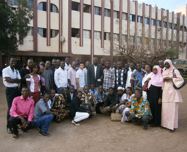
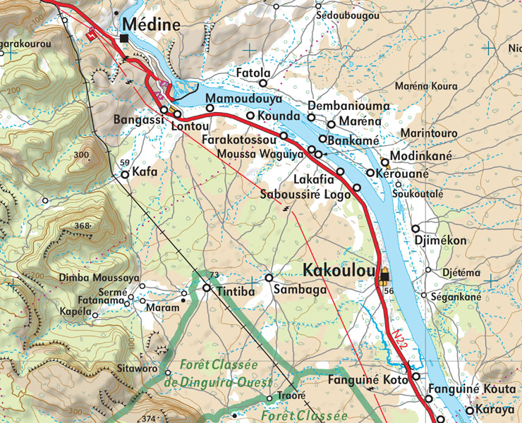
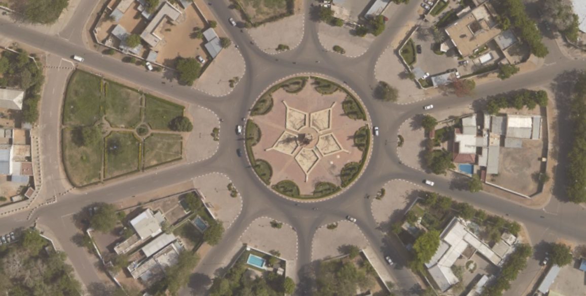
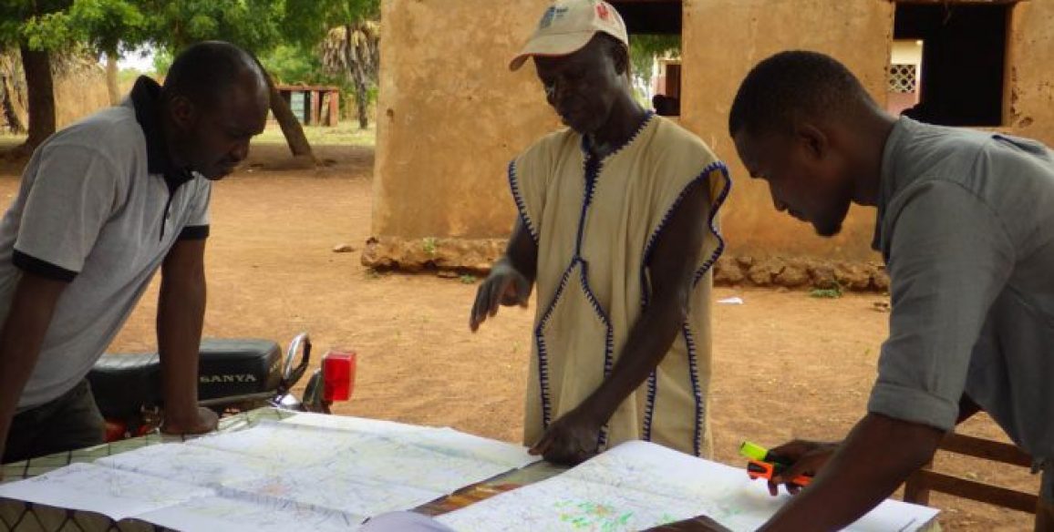
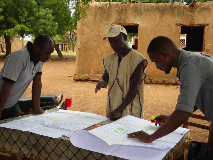
The update of base maps in Mali had not been carried out since serval decades and the geographic institute of Mali (IGM), due to a lack of technical means, was no longer able to fully ensure its sovereign missions of production, dissemination and conservation of a reference map. The project to update the 1:200,000 scale topographic map as well as modernise the mapping institute was created from these needs. The project’s aim was produce a data base and a new topographic map of the whole country at a scale of 1:200,000, to provide a homogenous and a coherent cartographic reference available for various sectors (transport, infrastructure, forests, mines, statistics, agriculture, energy, tourism, Office du Niger…) which could be used as a platform for exchanges and integration of data and information coming from these sector.
Upload the project sheet : Upgrading of general map and modernisation of the national mapping institute (IGM)
Main objectives of the project
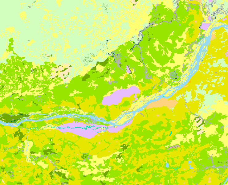
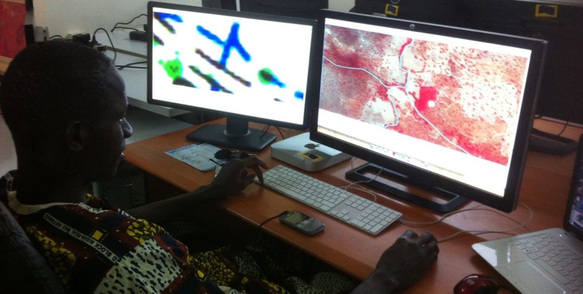
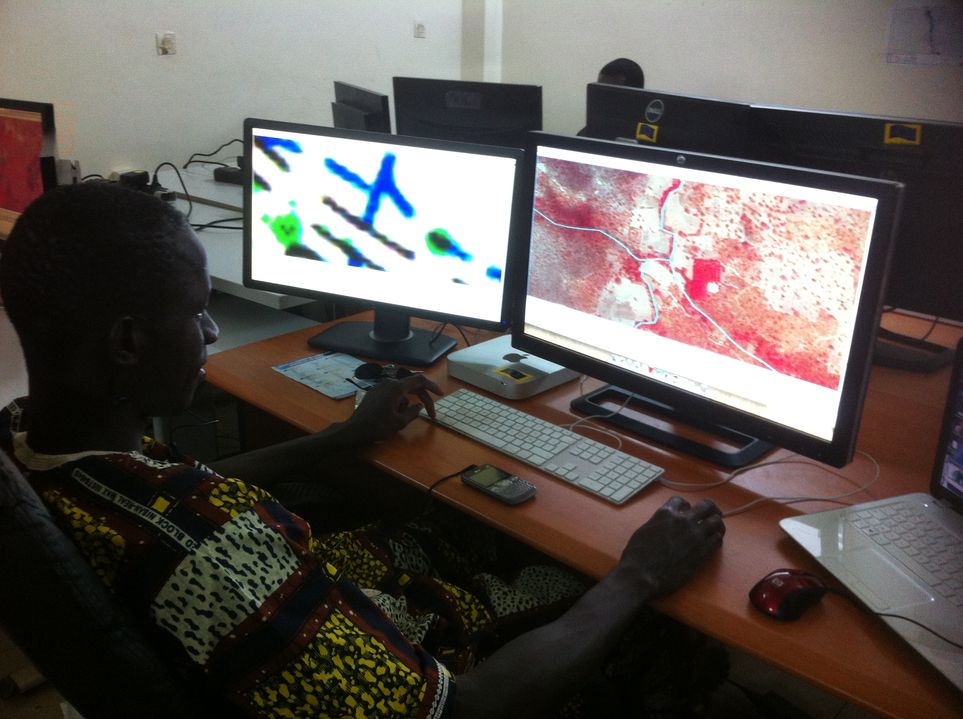
- Obtain structured data: the topographic data is collected together in a model that enables them to be used as a GIS and information from this data (metadata) is now available
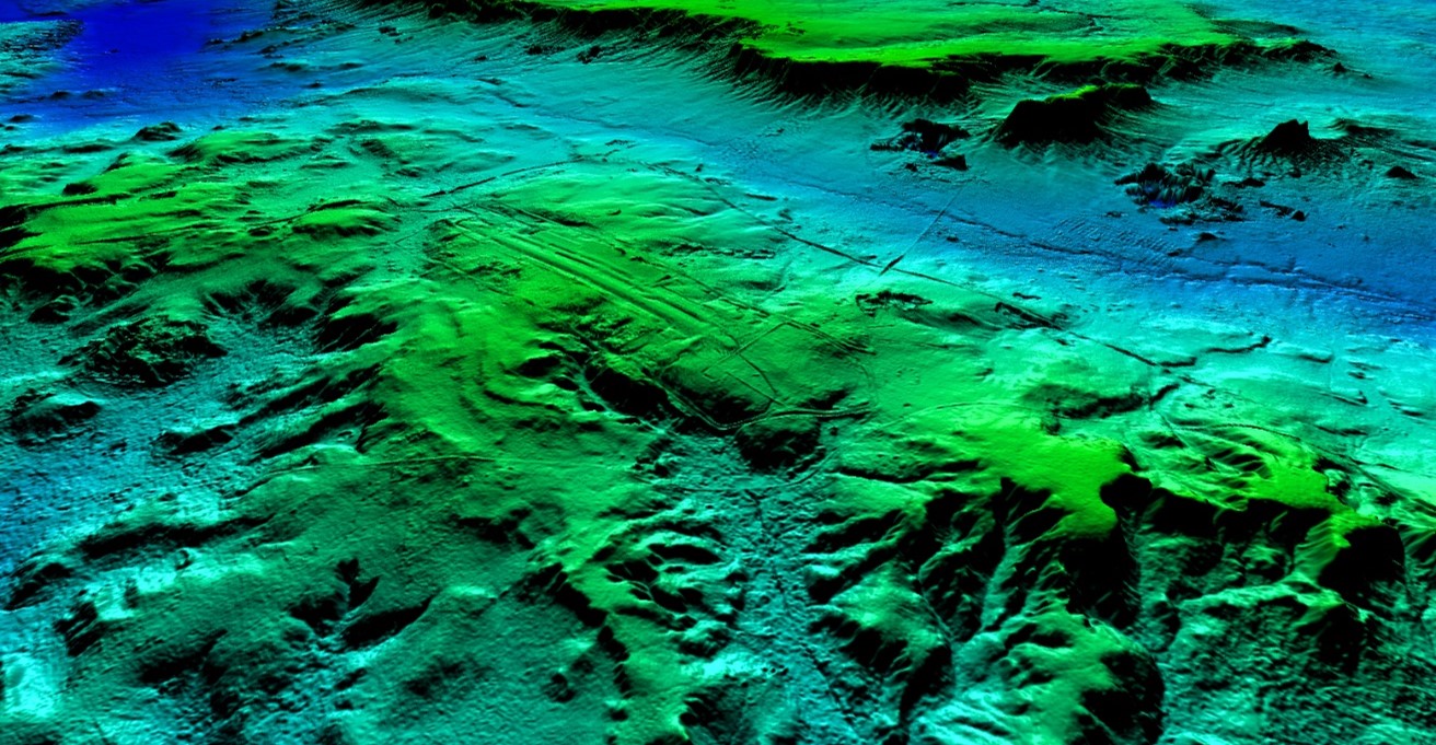
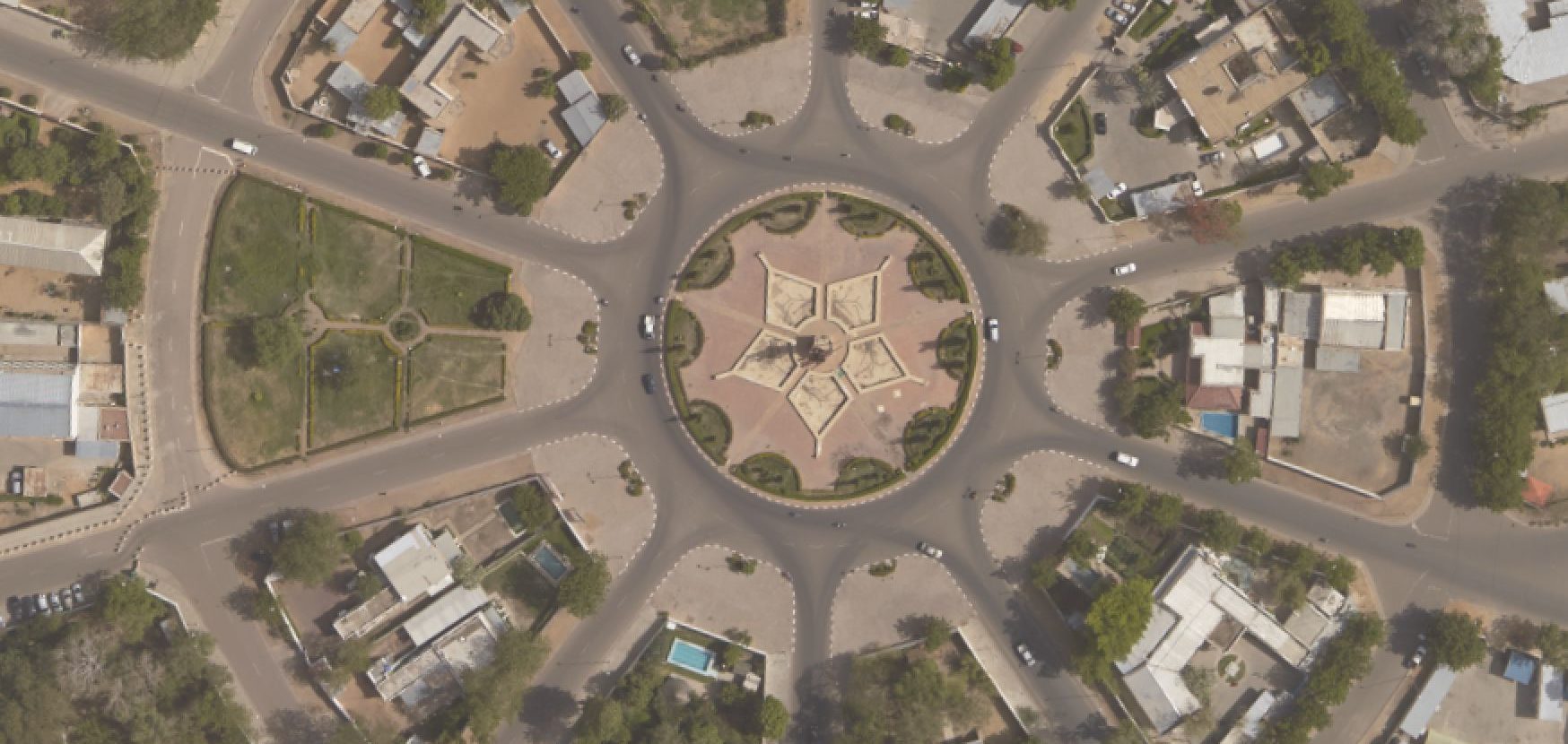
- Possess a new series of 1:200,000 topographic maps for the whole country
- Possess a set of map-derived digital products and services: a geoportal and a geocatalogue enabling the data produced by the project to be diffused
- Possess a modern geographic institute equipped with high-performance tools and competent personnel
Key figures
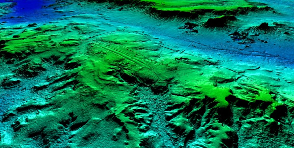
- 1,24 million sq.km covered by Spot 6 imagery
- 15 experts providing more than 1,500 days of technical assistance
- 9 IGM managers trained in France with 2 doing a Masters for a period of one year
- 118 maps reworked at a scale of 1:200,000
- 68 lined maps produced
- 50 spatio-maps (covering northern Mali)
- A database organised into 7 main themes and 19 layers
- Over 40,000 toponyms checked, standardised and georeferenced
- A land occupation database covering 60% of the country
- 28 city maps at scales ranging from 1:5,000 to 1:20,000 for the chief towns of the country’s regions and circles
More information (in French)
“Mali”: une équipe de l’IGN pour réaliser de nouvelles cartes” – RFI – reportage 6 août 2016
Upload the project sheet : Upgrading of general map and modernisation of the national mapping institute (IGM)