
Technical assistance for the creation of a national spatial data infrastructure (NSDI), SERBIA
The Serbian Geodetic Institute in charge of establishing cadastre in Serbia was asked to become the centre for Geographic Information in the Serbian Republic in order to meet the European Union SDI standards put in place in 2015. To do so, a collaboration was set between RGZ and the consortium composed of EADS Astrium and IGN FI, allowing the delivery of highly technological components, an unique transfer of knowledge and experience aimed to build the Serbian Spatial Data Infrastructure centre capable of producing, updating, organizing and disseminating geographic data in favor of the Serbian citizens, as well as the public and private sectors.
Main objectives and deliverables
The consortium provided a coherent set of technical components and capabilities to answer the needs of the RGA:
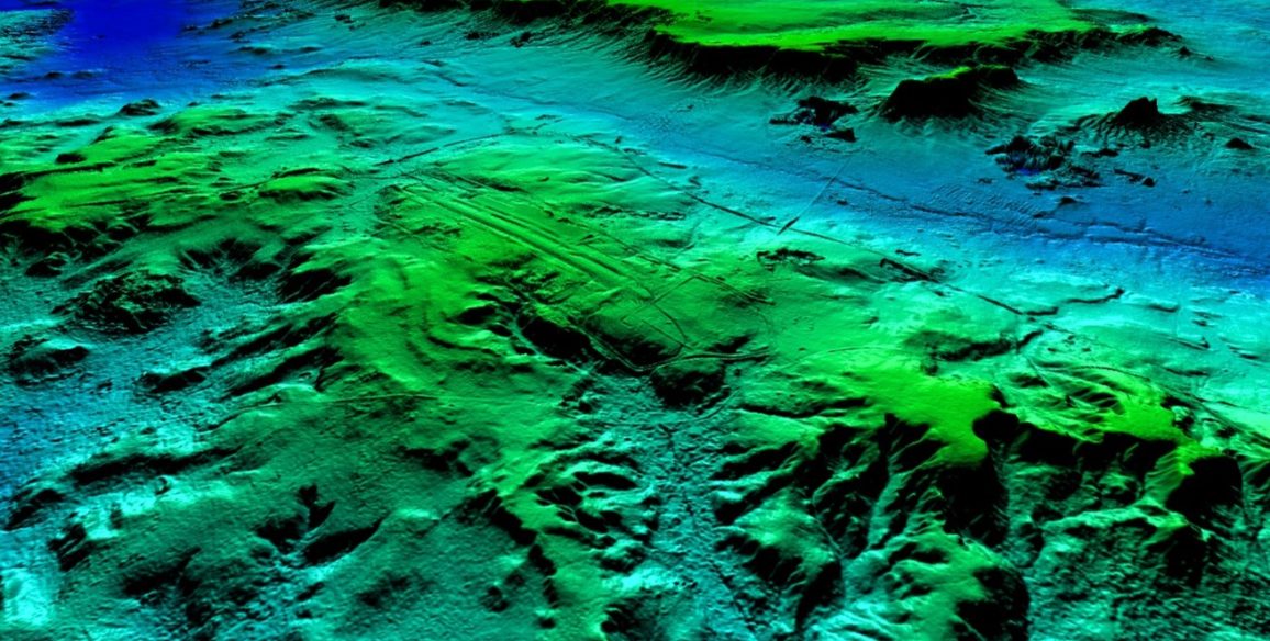
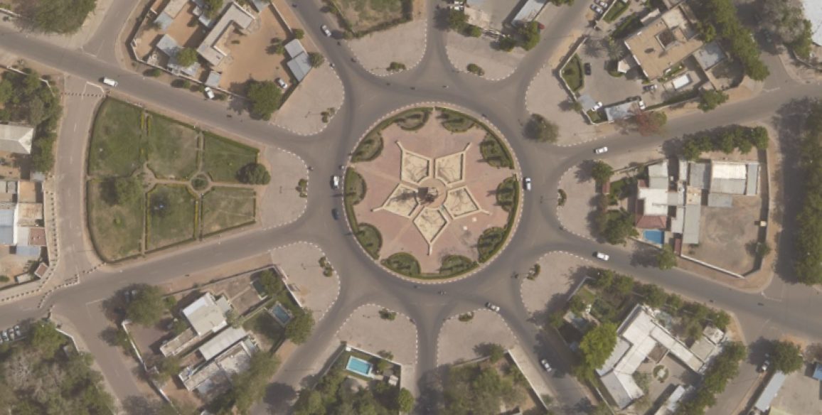
- Multi-source data (satellite and aerial) and a digital processing capability (Pixel Factory®) using the most cutting edge technologies in order to provide national reference data layers (DTM, DSM, orthoimages), and able to process a wide range of sensors.
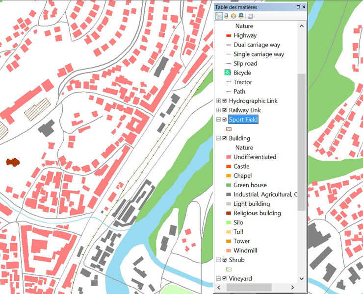
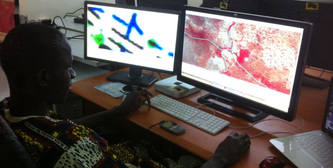
- A stereo-plotting workshop for the production of 3D vector topographic layers (GeoView® IGN 3D stereo plotting software), a GIS unit to structure the vector data coming from the stereo-plotting, a map editing workshop (based on Lorienne tools)
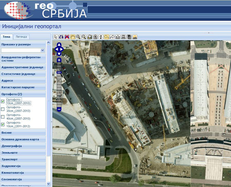
- Capacities for hosting, management, query and dissemination of reference data (orthoimages, topographic data, maps…) and associated metadata for their access through national web portal
- Satellite and aerial data sets, orthoimages and maps
- Specific institutional, organisational and marketing support from IGN FI
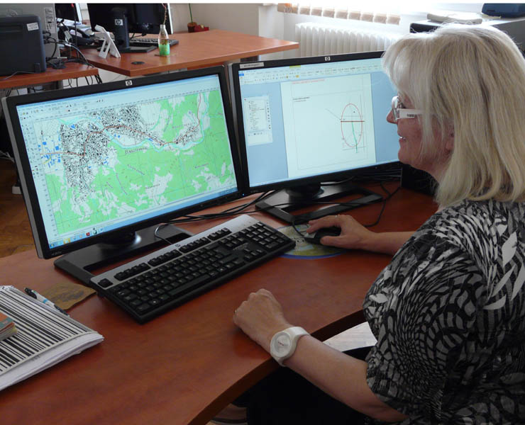
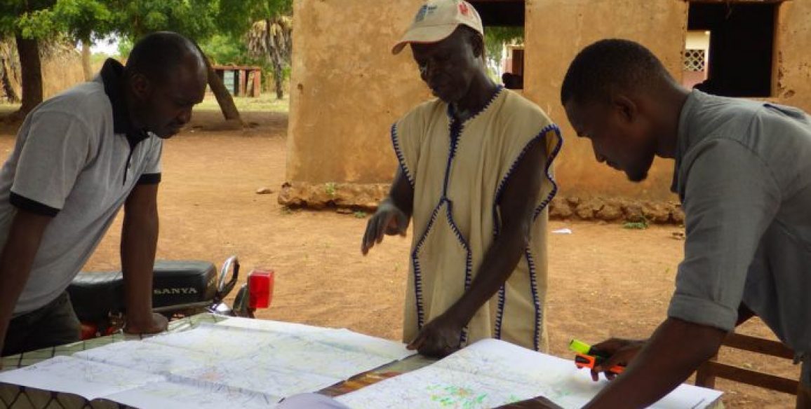
- Training of production managers (in France), training of operators and production managers (in Serbia) and on-the-job training with extended production team of operators, with production managers
- Definition of the data production programs depending on the goals and the available staff (product specification, content, details)
- Final compliance with the European Directive INSPIRE has been guaranteed at all phases of the projects according to INSPIRE rules’ progress
Deliverable products
- Infrastructure (both hard- and soft-wares) for the implementation of a data management system, cataloguing, webportal (similar to the French Geoportail®)
- Technology transfer
- Hardware/software
- Training workshops (geometric rectification, remote sensing for agricultural and environmental purposes, raster maps updating, photogrammetric restitution, map edition)
- Customisation of products
- Definition of data production programs
- Definition of marketing aspects, product licenses and institutional reinforcement
- Production support
- Training for users and managers
- Provision of raw data
- Images coming from remote sensing (SPOT country coverage, on demand satellite data…)
- Aerial acquisitions (at the national level, for rural and urban uses, at various resolutions)
- LiDAR acquisition
- Creation of urban true-orthos
- Remote sensing applications for agricultural/environmental uses
Key figures
- 320 hours of “At factory training” (in France)
- 1,240 hours of “Onsite training” (in Serbia)
- 1,600 hours of “On the job training” (in Serbia)
- 2 years support
- 1 year maintenance
- < 74,000 sq.km aerial data
- < 750,000 sq.km spatial data
- 2 interoperable web portals