Supervision of work for a geodetic network, CAMEROON

Supervision of work for a geodetic network, CAMEROON

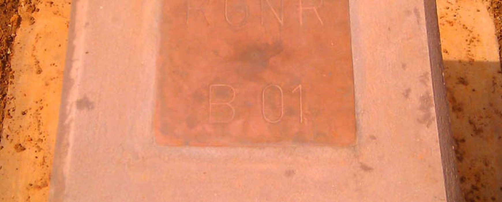
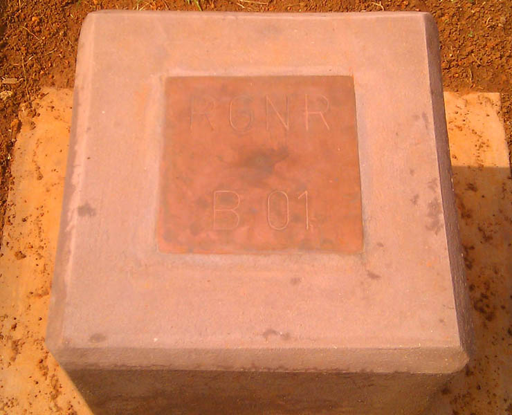
Supervision of work for the creation of a geodetic network, CAMEROON The Government’s action plan for the period 2010 / 2020 included updating Cameroon’s geodetic network. Although local networks already existed in each town, none of these were connected to each other in any way or brought together at a Continue reading

Support to the reform (PAGEF), SENEGAL

Support to the reform (PAGEF), SENEGAL

Project to provide support to the reform of urban land management (PAGEF), SENEGAL The country of Senegal stretches over a surface area of 196,722 sq.km and is made up of 11 regions which are subdivided into departments, communities, suburbs and rural communities. The specific geography of Dakar and its suburbs combined Continue reading

URBAN MAPPING DATABASE, SENEGAL

URBAN MAPPING DATABASE, SENEGAL

COMPLETION OF AN URBAN MAPPING DATABASE, SENEGAL The country’s main towns were lacking in both databases and accurate and up-to-date cartography. This project took place over 27 months and provided relevant information, initially to the National Sewerage Office of Senegal (ONAS) who chose the priority cities, to be used in Continue reading

Land cover database, BURKINA FASO

Land cover database, BURKINA FASO

Diachronic analysis and land cover accounting (BDOT 2012), BURKINA FASO Burkina Faso has possessed a database on land use compliant with a scale of 1:100,000 since 2005. This database was created by the IGB (Burkina Faso Geographic Institute) in collaboration with IGN FI over the period 2004-2005 for the direct benefit Continue reading

Supervision of an urban land information system, ETHIOPIA

Supervision of an urban land information system, ETHIOPIA

Supervision and implementation of an urban land information system, ETHIOPIA The Ethiopian ministry of urban development, and housing (MUDHo) has launched the implementation of urban land information system project. One of the objectives of the ministry is to curb the problems of mismanagement and increase the real pension in urban Continue reading

Upgrading of the general map, BURKINA FASO

Upgrading of the general map, BURKINA FASO

Upgrading of the general map at a scale of 1:200,000, based on spatial images, BURKINA FASO This project has consisted of updating the entire country’s map coverage at a scale of 1:200,000, in order to make a coherent national cartographic reference available for various actors (infrastructure, land management, statistics, rural Continue reading