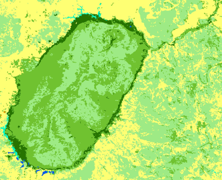
Spacial observation of tropical forests (OSFT), Central Africa
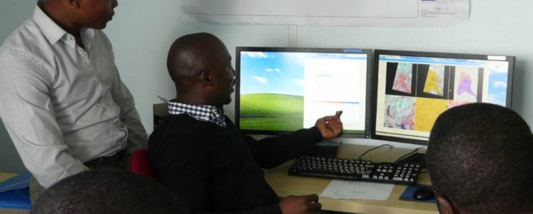
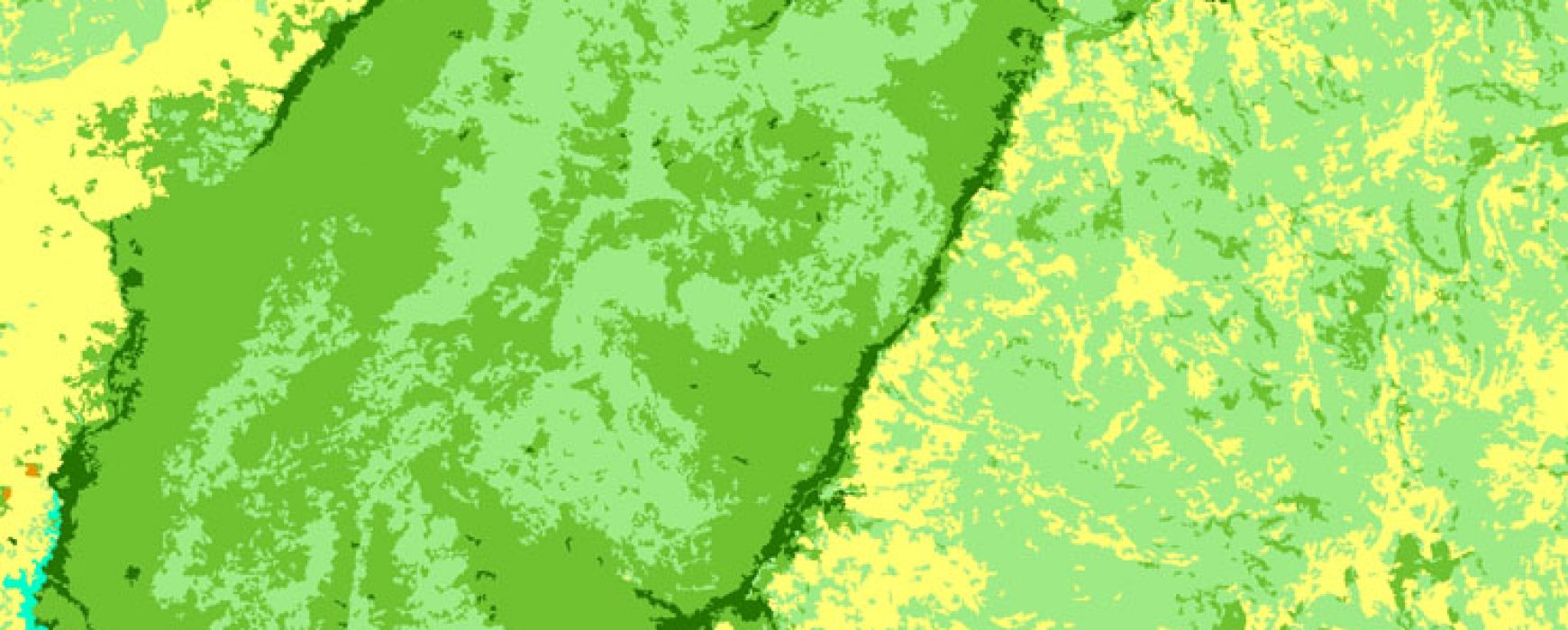
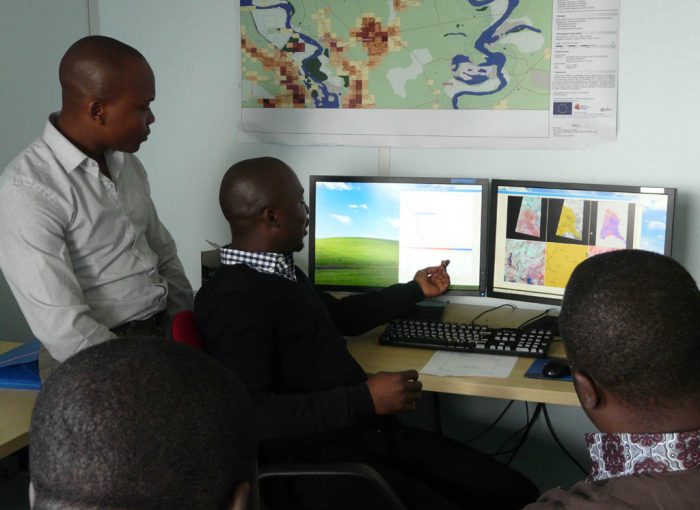
Spacial observation of tropical forests (OSFT): provision of Spot images over the Congo basin countries In December 2009, France agreed to provide the Congo river basin countries with satellite images from SPOT4, SPOT 5 (with SPOT 6 and 7 in the future) acquired over the period 2010/2015 as well as Continue reading