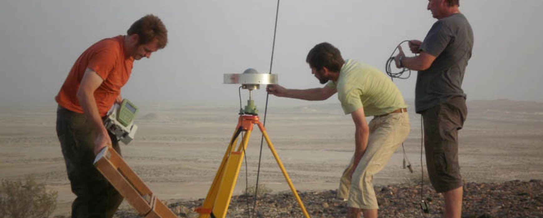
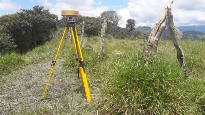
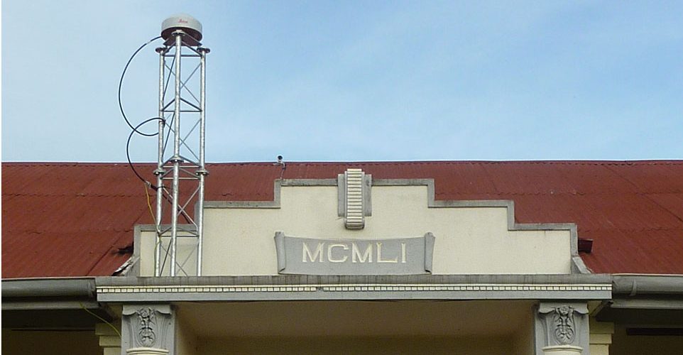
Continously operating reference system (CORS),LAOS
Supply and installation of the continously operating reference system (CORS), LAOS The Ministry of Environment and Natural Resources has received financing from the World Bank toward the cost of the enhancing systematic land registration project and intends to apply part of the proceeds for supply and installation of continuously operating Continue reading
