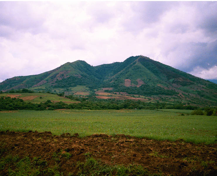
Hydrological and environmental monitoring (SHERPA), EL SALVADOR / HONDURAS / GUATEMALA
Since the 1990’s, the regions of Central America have been following the principle of a regional integration policy in order to prevent events related to human conflict and major natural risks that can sometimes provoke unbalance.
The Central American Commission for Environment and Development (CCAD) is responsible for promoting an integrated sustainable development policy aimed at coordinating environmental projects. The Commission is in charge of coordinating the establishment of an environmental information system providing coherent and cross-comparative data, including information on land use. It was therefore necessary to develop an information tool capable of providing help in the assessment, tracking and management of natural resources, particularly bearing in mind the prevention of forest fire and management of natural water resources with the watershed. This tool has in particular been used to produce generic indicators and proven applications for cross-border watersheds.
Main objectives and deliverables
The SHERPA project’s main goal was to put in place a management and monitoring tool for the hydrological basin of Rio Lempa through the following phases:
- Adapting and transferring the European CORINE Land Cover experience for the production of a regional database for land occupation
- Developing environmental applications over the hydrological basin mainly by studying the land occupation changes as well as by the fragmentation of forests in relation with biological corridors
- Stratifying agricultural zones and human pressure on the basin’s natural resources
Key Figures
- Training of around fifteen national experts
- Production of data over 20,000 sq.km
- 3 experts working for 6 man-months at the IGN branch in San Salvador, 2 experts (4 man-months) at IGN Guatemala, 2 experts (4 man-months) at IGN Honduras
