NSDI: Technical assistance, SERBIA

NSDI: Technical assistance, SERBIA

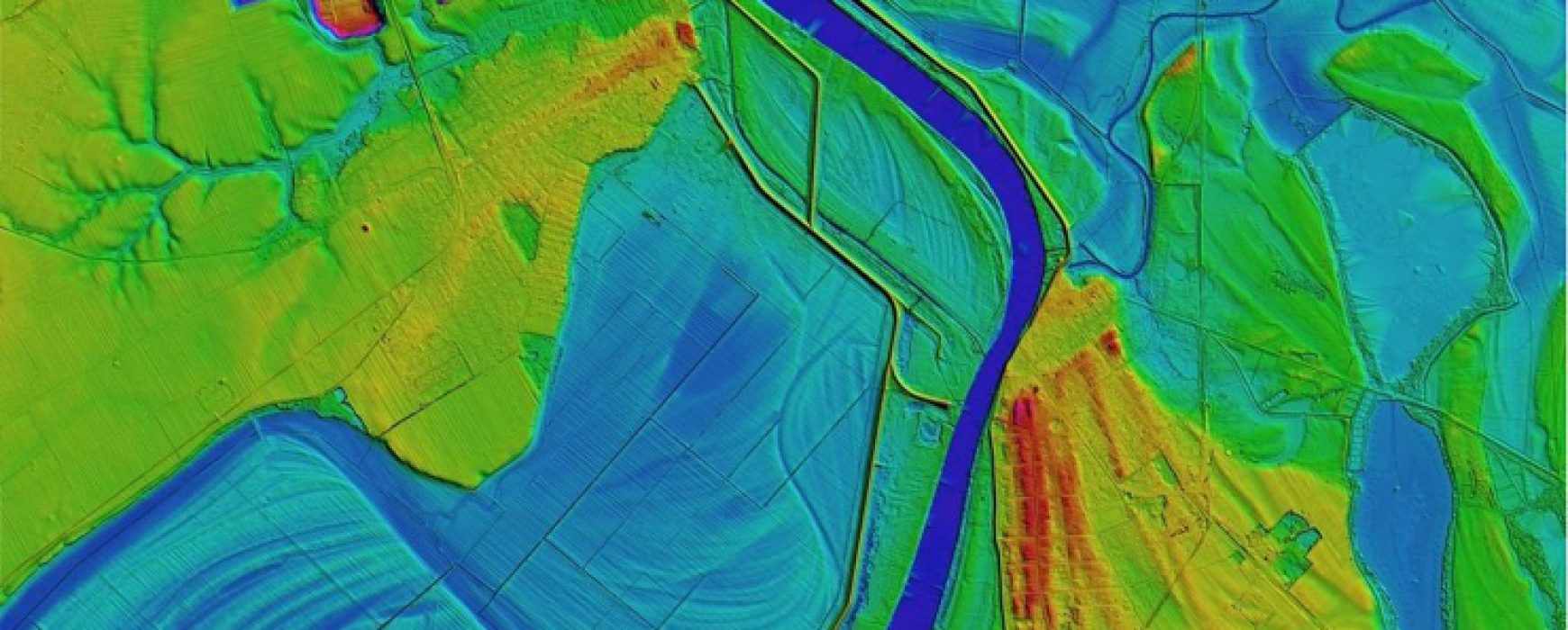
Technical assistance for the creation of a national spatial data infrastructure (NSDI), SERBIA The Serbian Geodetic Institute in charge of establishing cadastre in Serbia was asked to become the centre for Geographic Information in the Serbian Republic in order to meet the European Union SDI standards put in place in Continue reading

Upgrading of the general map, MALI

Upgrading of the general map, MALI

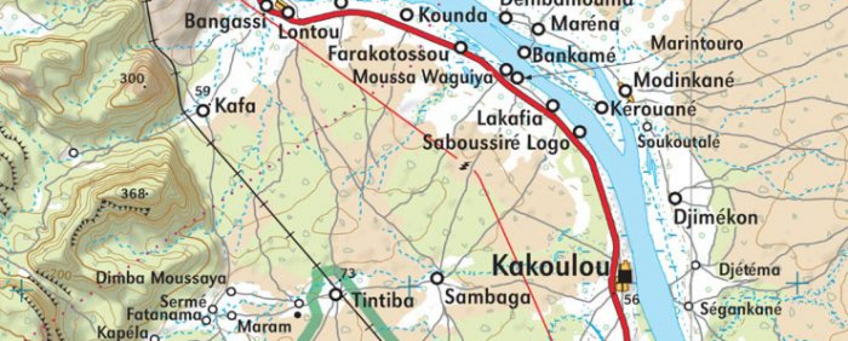
Upgrading of general map and modernisation of the national mapping institute (IGM), MALI The update of base maps in Mali had not been carried out since serval decades and the geographic institute of Mali (IGM), due to a lack of technical means, was no longer able to fully ensure its Continue reading

URBAN MAPPING DATABASE, SENEGAL

URBAN MAPPING DATABASE, SENEGAL

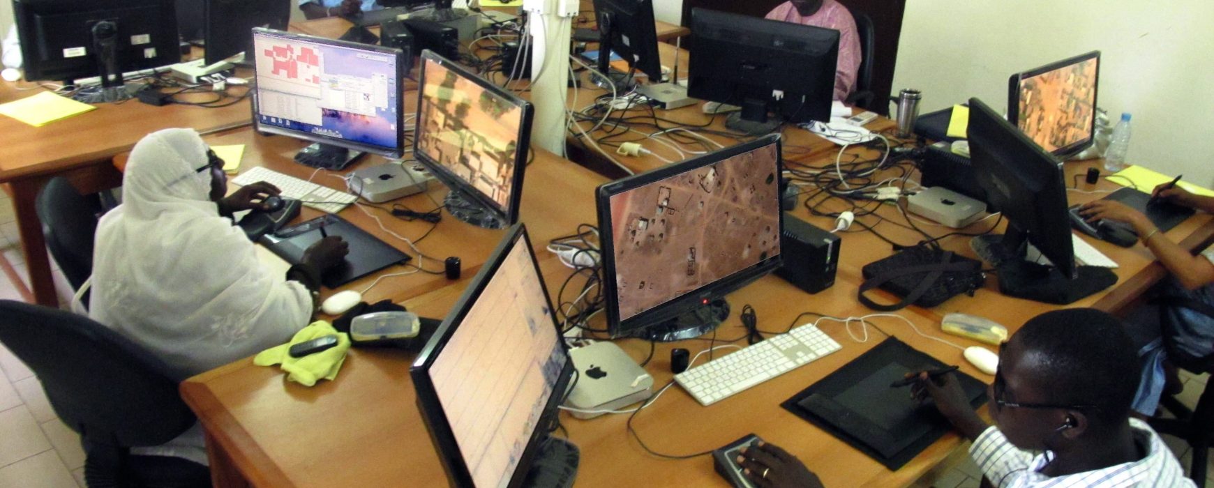
COMPLETION OF AN URBAN MAPPING DATABASE, SENEGAL The country’s main towns were lacking in both databases and accurate and up-to-date cartography. This project took place over 27 months and provided relevant information, initially to the National Sewerage Office of Senegal (ONAS) who chose the priority cities, to be used in Continue reading

Upgrading of the general map, BURKINA FASO

Upgrading of the general map, BURKINA FASO

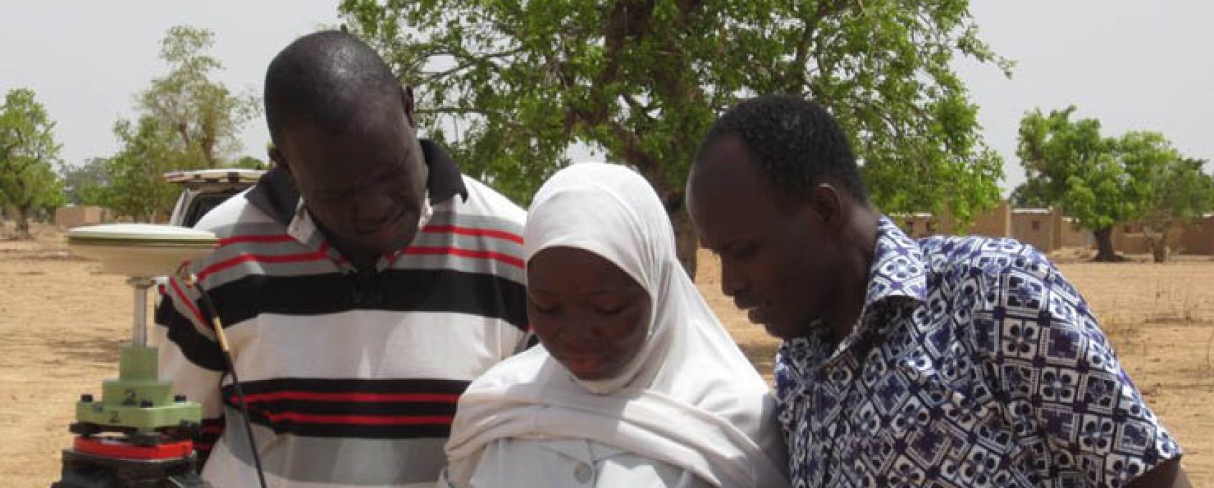
Upgrading of the general map at a scale of 1:200,000, based on spatial images, BURKINA FASO This project has consisted of updating the entire country’s map coverage at a scale of 1:200,000, in order to make a coherent national cartographic reference available for various actors (infrastructure, land management, statistics, rural Continue reading