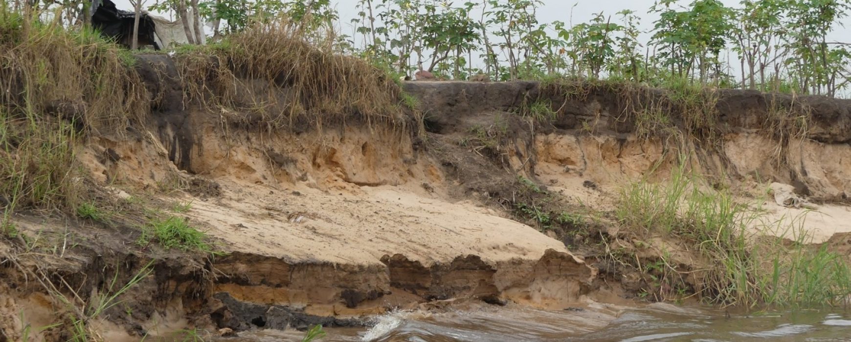
Assess hazards, vulnerabilities and risks, ECCAS
Évaluation des aléas, vulnérabilités et des risques dans les États membres de la Communauté Économique des États d’Afrique centrale (CEEAC)Continue reading

Évaluation des aléas, vulnérabilités et des risques dans les États membres de la Communauté Économique des États d’Afrique centrale (CEEAC)Continue reading
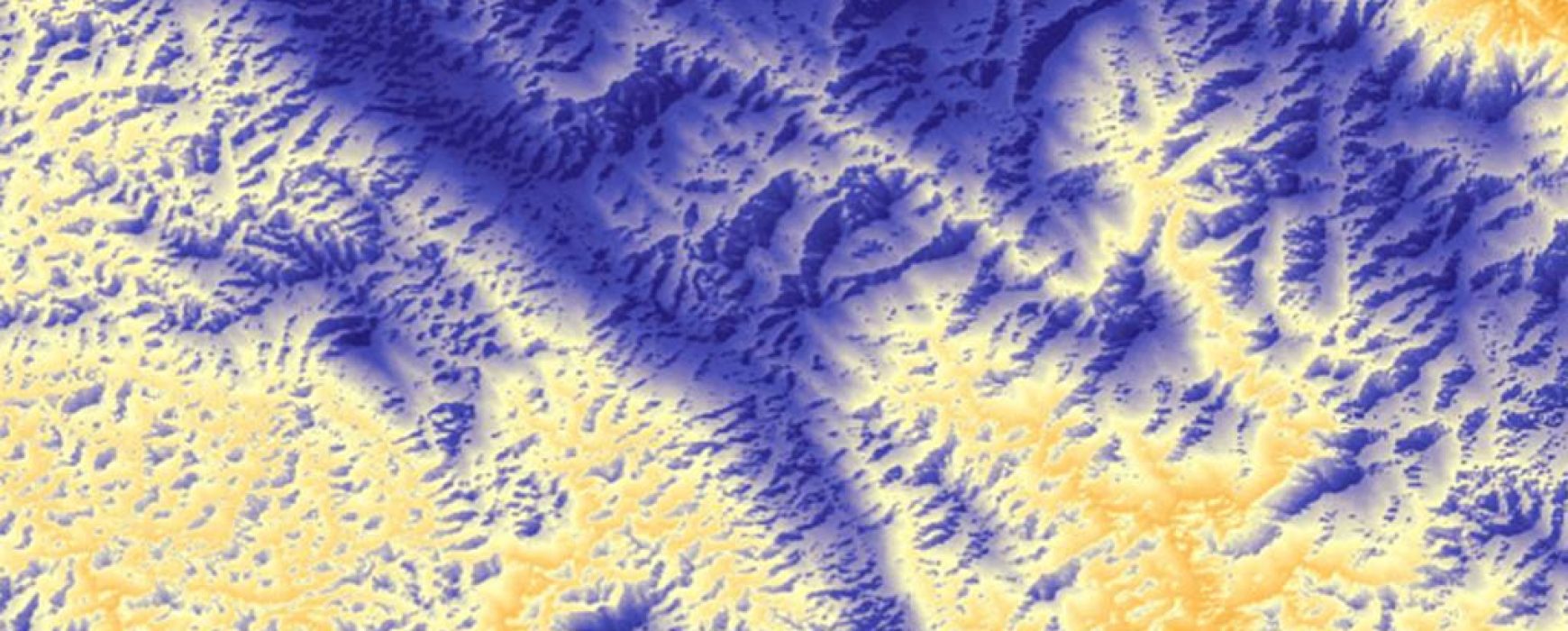
Land borders and offshore border lines: negotiations support, CONGO Within the framework of the ‘Land borders and offshore borderlines: ‘negotiations support’ project, IGN FI offered the Ministry for Home Affairs and Decentralisation support in the project’s overall management, aiming to contribute to providing Congo’s National Border lines Committee with reliable Continue reading
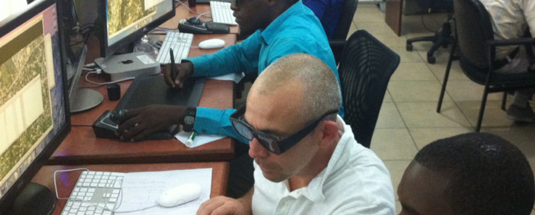
Aerial photography, LiDAR acquisition and derivated products, HAITI As part of the Disaster Risk Management and Reconstruction project, the World Bank has funded a project aimed at producing aerial photographs covering the whole of Haiti’s territory as well as performing an aerial LiDAR survey. This baseline data was then used Continue reading
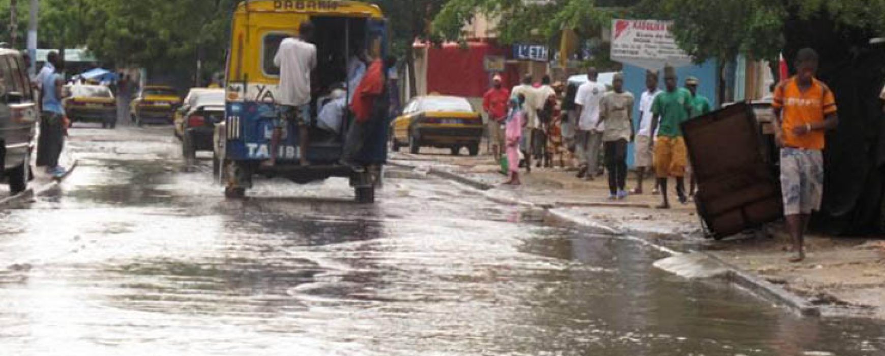
Jaxaay Project: cartography of flood zones, SENEGAL The country of Senegal, and more particularly the city of Dakar, has been subject to the recurring problem of flooding since 1989, a problem which has worsened over time due to strong urban pressure. A hydrological study has shown that 40 years ago Continue reading
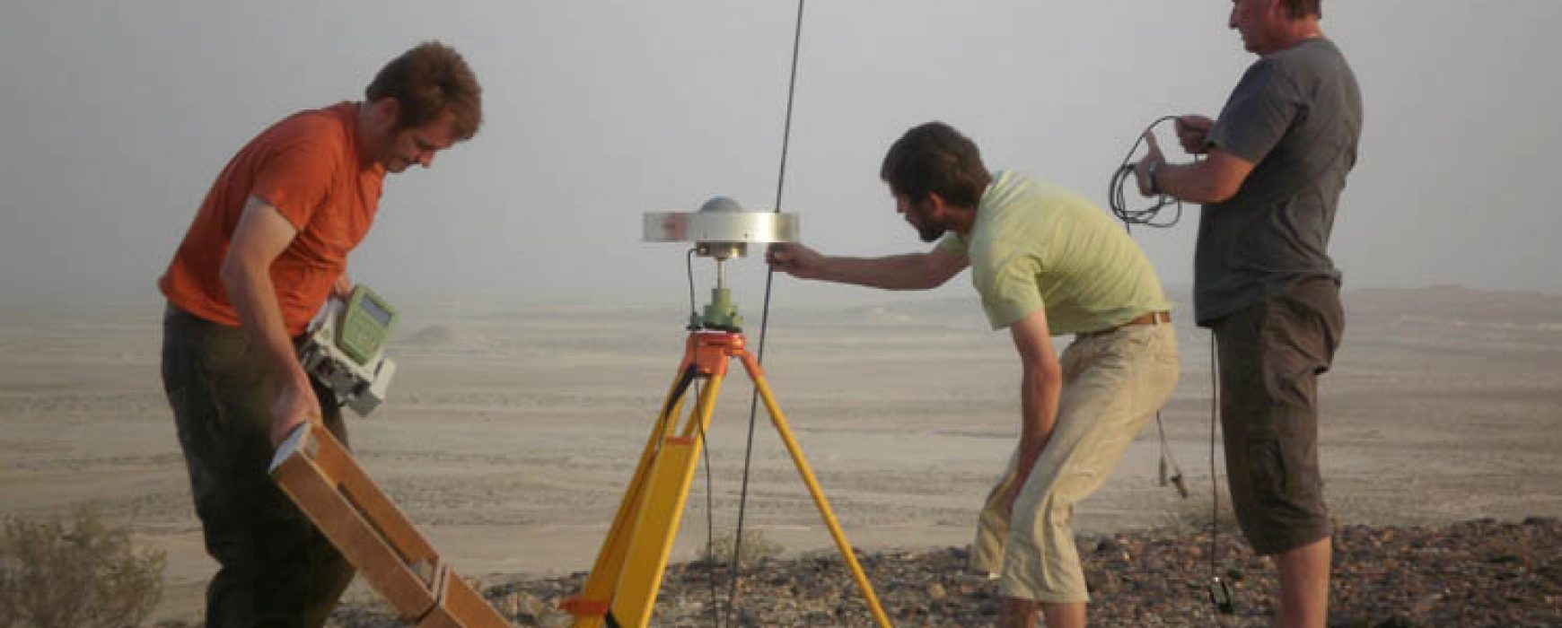
Border mapping and demarcation, QATAR / SAUDI ARABIA The State of Qatar and the Kingdom of Saudi Arabia decided to modify the border lines for part of their common border. The existing border lines were demarcated in 1996-1998 and mapped by IGN FI. Ten years after this first project to demarcate the Continue reading