COMPLETION OF AN URBAN MAPPING DATABASE, SENEGAL
The country’s main towns were lacking in both databases and accurate and up-to-date cartography. This project took place over 27 months and provided relevant information, initially to the National Sewerage Office of Senegal (ONAS) who chose the priority cities, to be used in the sustainable development of these areas subject to heavy constraints. The project was based on entirely local production with a strong skills transfer component carried out by the IGN FI.
Objectives and deliverables
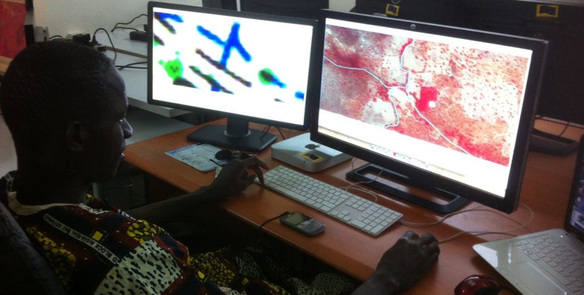
The project enabled the creation of standardized urban databases as well as large-scale maps. These elements have helped to improve the effectiveness of work carried out by various contributors in the urban sector, whilst enabling better coordination of network administrators.
This spatial data baseline can be used by both the national data production entity (DTGC) and users (ONAS initially then all network administrators thereafter) and has enabled the creation of a single data baseline which encourages exchange of the information it contains. This single data baseline has also been of benefit to all those working in spatial planning and urban space management in Senegal.
The project to create a reference baseline therefore aimed to:
- Possess structured data: the topographical data was grouped into object models that enabled use for GIS-type work and information on this data (metadata) was produced,
- Possess a complete set of data for each of Senegal’s main towns,
- Possess up-to-date information: a process to complete and update existing data was defined in conjunction with the DTGC
- Possess accessible data: means to disseminate reference baseline elements have been made available to DTGC
Deliverables
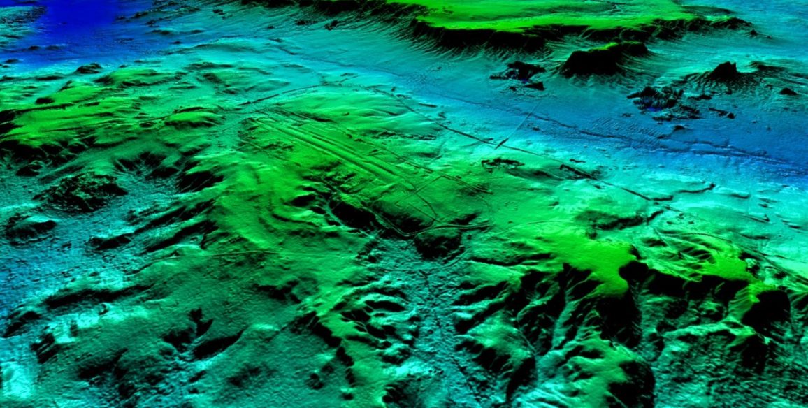
- Network of geodetic pillars and benchmarks with known planimetric positions and very precise altimetry
- Calculation of a geoid model which will allow for the accurate measurement of the altitude with a GPS receptor
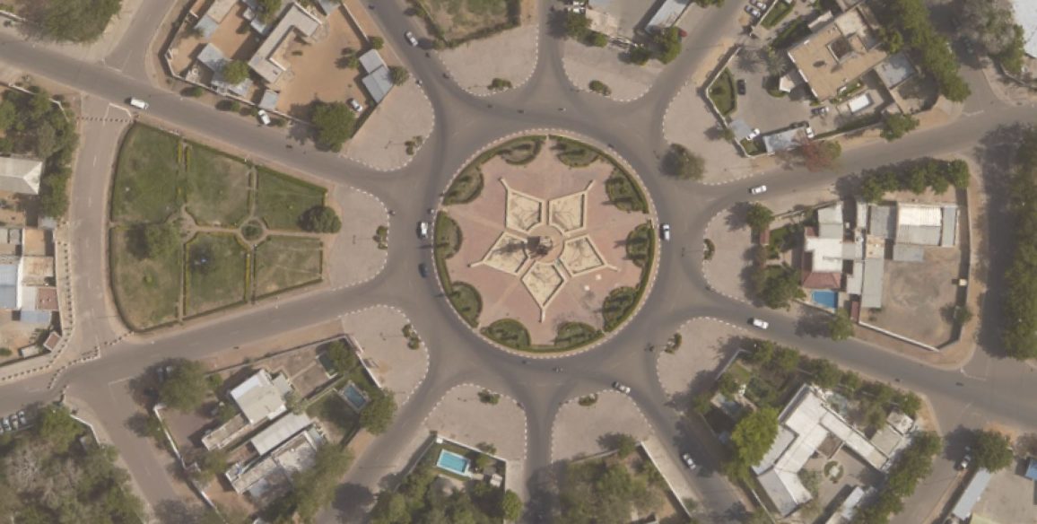
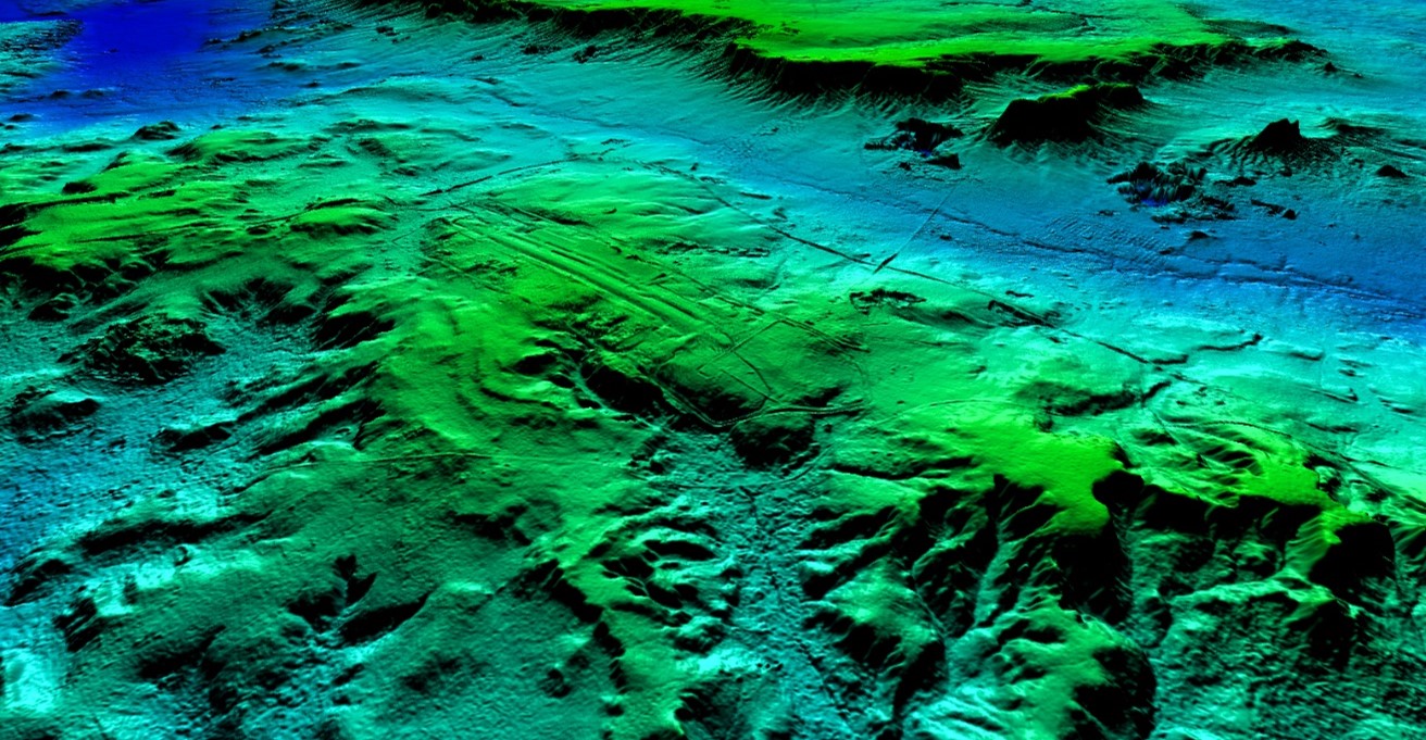
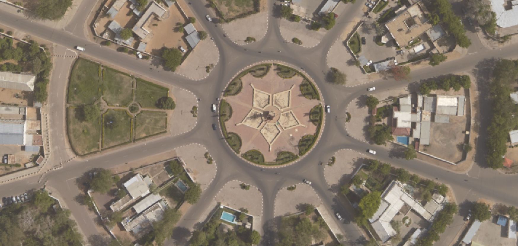
- Aerial photography at a resolution of 20 cm
- Urban databases for each city
- Cartographic maps at 1:2,000
- Training session in France for four technical executives from the National School of Geomatics (ENSG)
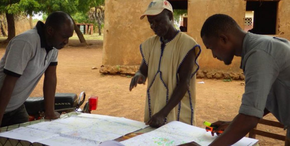
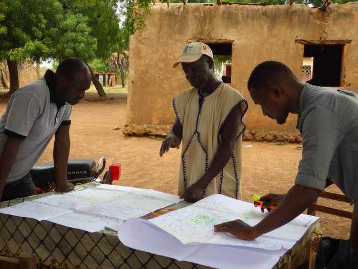
- This project included several communication campaigns aimed to inform local urban development actors and make them aware of the issues involved
Key Figures
- Creation of an urban database covering 300 km²
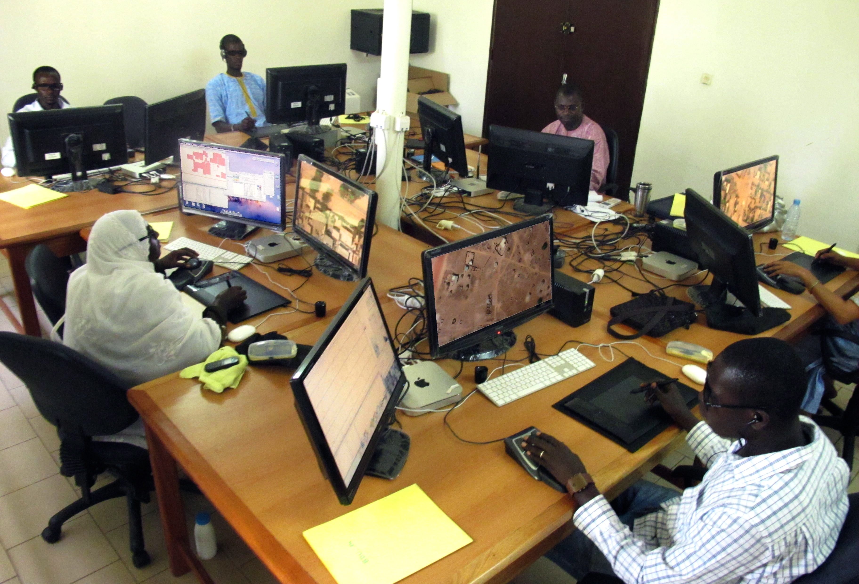
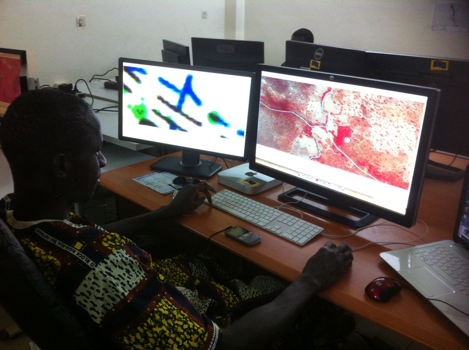
- 12 workstations installed in the plotting department
- 4 technical executives trained at the ENSG in France
- Setting up production teams and work schedules (22 operators working in 2 6-hour shifts)