Information system for forest spatial planning, GABON

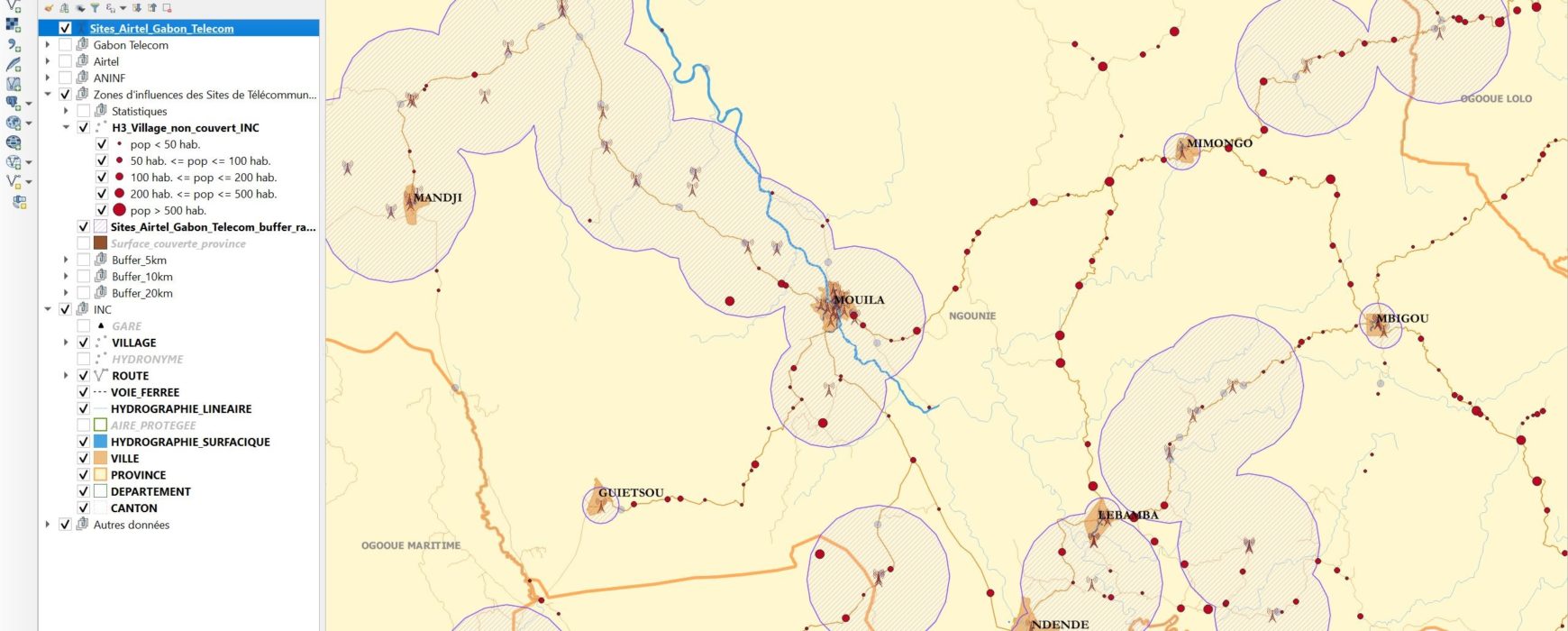
Information system for forest spatial planning, GABON

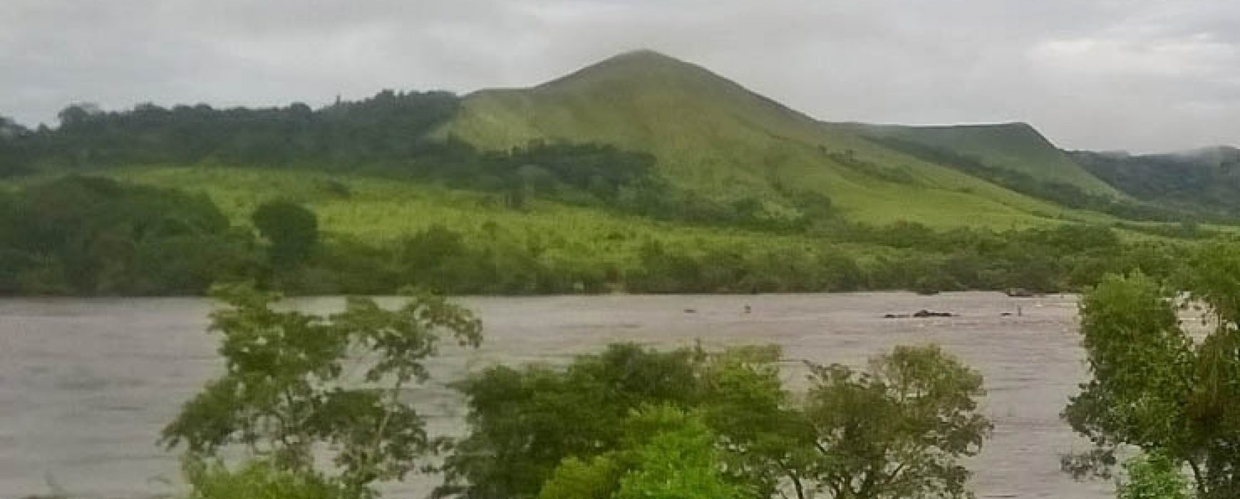
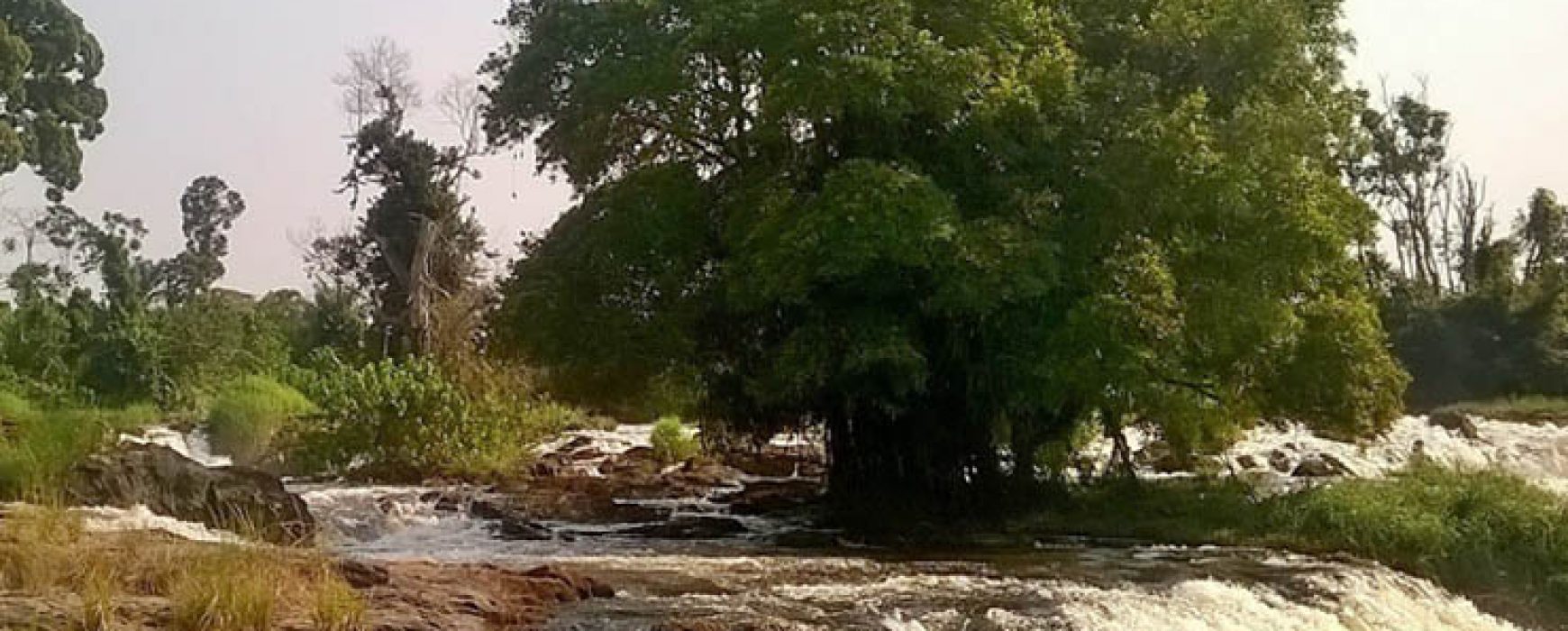
  Information system for forest spatial planning, GABON Gabon is a major forest nation with over 22 million hectares covered with dense forest, representing 85% of its surface area. With a population of 1.8 million inhabitants, it is ranked as one of the African countries with the highest forest surface Continue reading

Cartography of flood zones, SENEGAL

Cartography of flood zones, SENEGAL

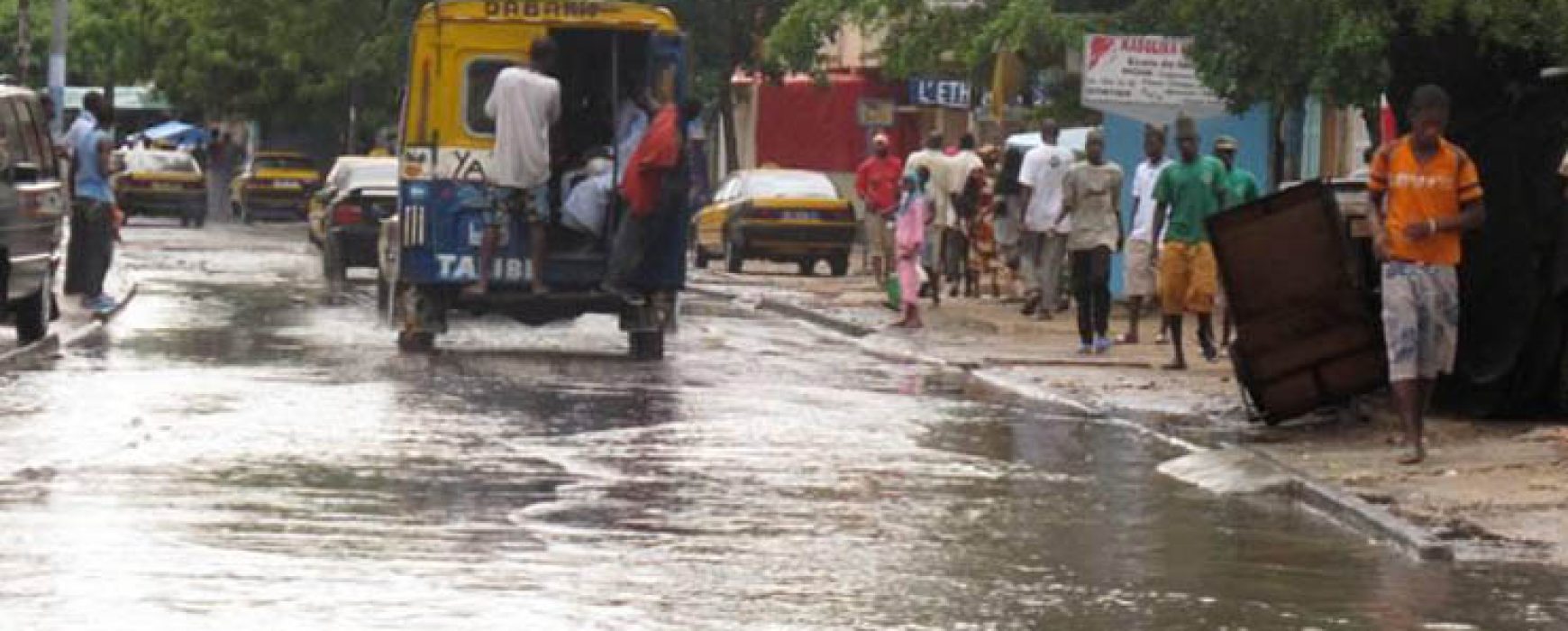
Jaxaay Project: cartography of flood zones, SENEGAL The country of Senegal, and more particularly the city of Dakar, has been subject to the recurring problem of flooding since 1989, a problem which has worsened over time due to strong urban pressure. A hydrological study has shown that 40 years ago Continue reading

National geomatic plan, GABON

National geomatic plan, GABON

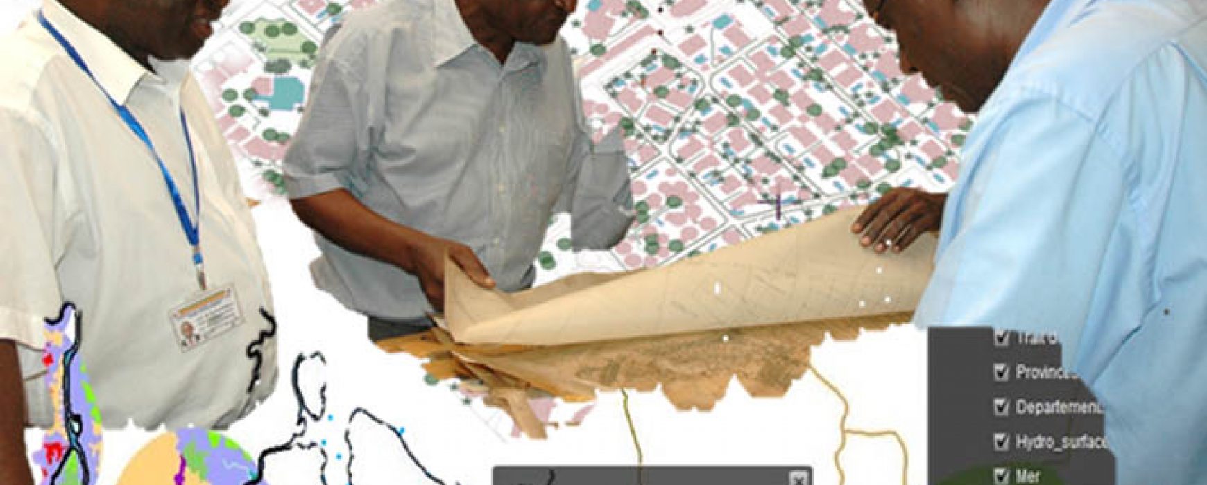
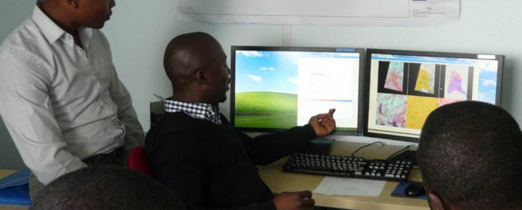
Preliminary study and technical assistance to implement the national geomatic plan, Gabon Numerous countries, including developing countries, are now integrating National Geomatic Plans (NGP) as a key element of their national development strategy. An NGP is a complete set of actions that consist in bringing together and creating geographical data Continue reading

Inventory of crops (CIPA), EGYPT

Inventory of crops (CIPA), EGYPT

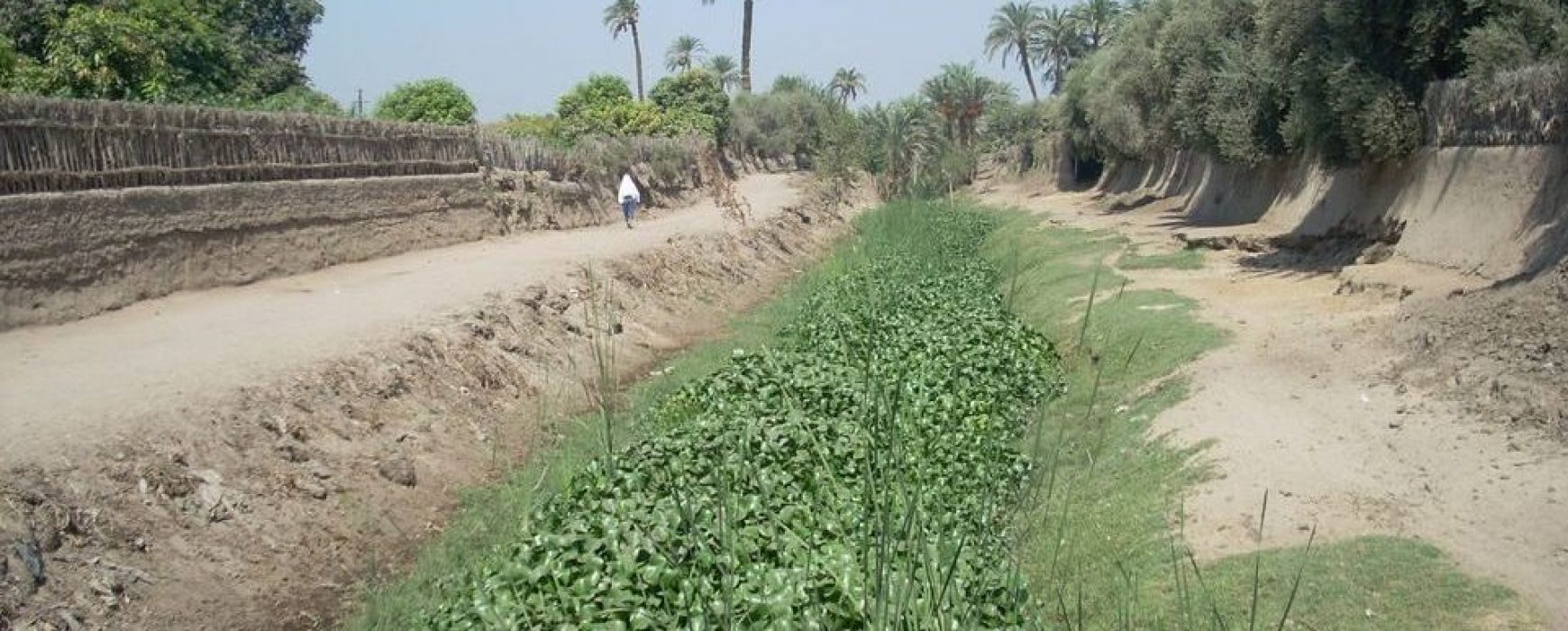
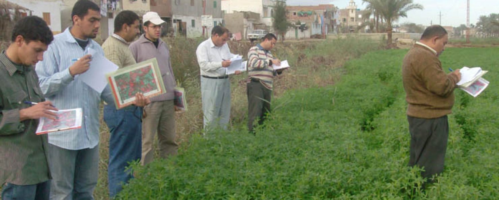
Crops inventory, agricultural acreage and yield estimations over the Nile valley and delta, EGYPT After the wheat crisis that took place in Egypt in 2007 and caused by an under-estimation of wheat imports, the Egyptian Ministry for Agriculture decided to implement new means of measuring agricultural acreage and yields in Continue reading

Hotspots validation and evaluation, 15 countries of Africa

Hotspots validation and evaluation, 15 countries of Africa

High-resolution hot spot monitoring within the global land component of the Copernicus land service, Lot 2: independent validation and accuracy assessment, AFRICA (15 countries) This project includes performing the independent control consisting of the validation and accuracy assessment of the land cover and land cover change mapping products produced by Continue reading

Spatial observation of tropical forests (OSFACO), AFRICA

Spatial observation of tropical forests (OSFACO), AFRICA

Tropical forests have been at the centre of global issues for a number of years now, either being at the forefront of international conventions or due to biodiversity. They are reservoirs of carbon and biodiversity, offering means of subsistence for millions of people. The forests in the Congo Basin represent Continue reading

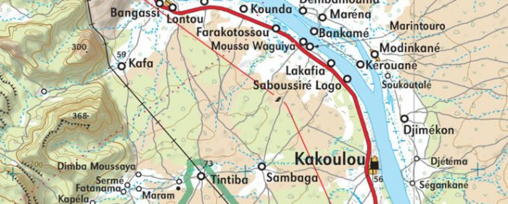
Upgrading of the general map, MALI

Upgrading of the general map, MALI

Upgrading of general map and modernisation of the national mapping institute (IGM), MALI The update of base maps in Mali had not been carried out since serval decades and the geographic institute of Mali (IGM), due to a lack of technical means, was no longer able to fully ensure its Continue reading