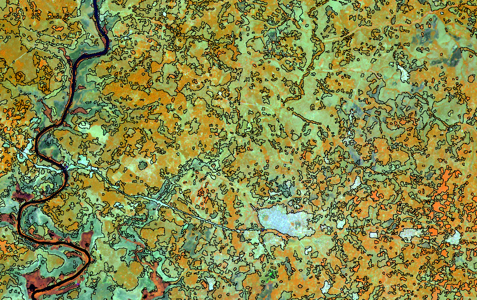
National forest and wildlife inventory (IFFN), IVORY COAST
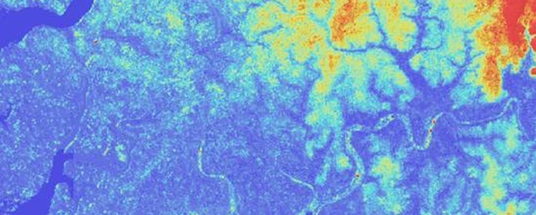
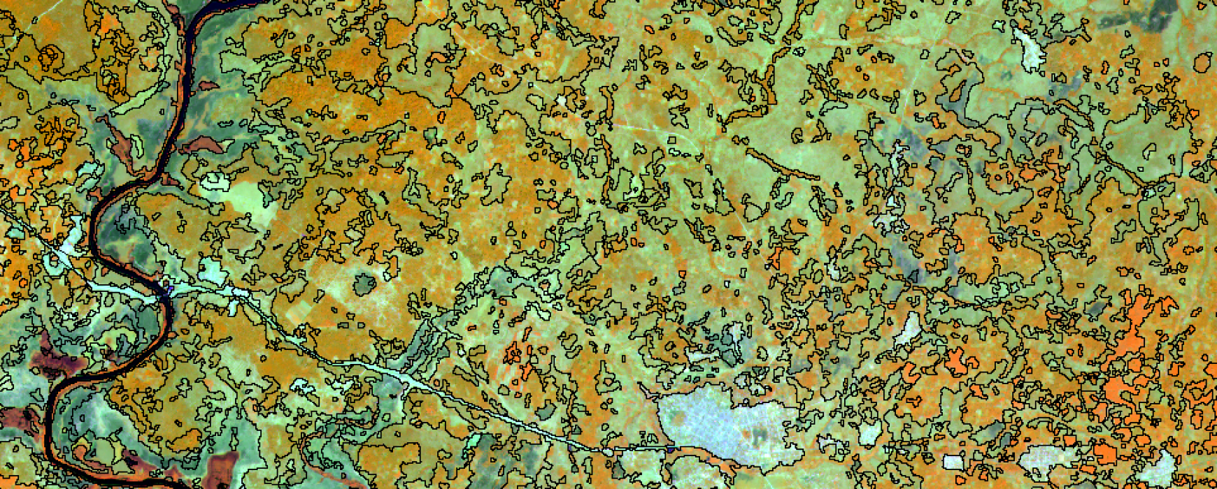
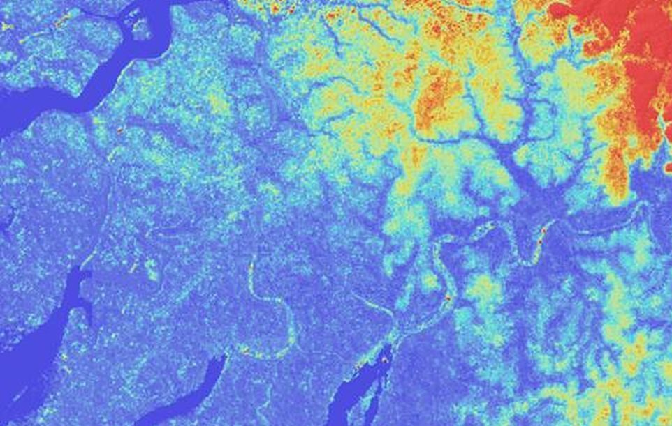
National forest and wildlife inventory (IFFN), IVORY COAST The last national inventory of forests in Ivory Coast dates back to 1979. The current assessment of Ivory Coast’s forests as measured by satellite imagery among other methods shows a clear trend of deforestation and deterioration of forest resources. It appears that Continue reading
